Religious origins
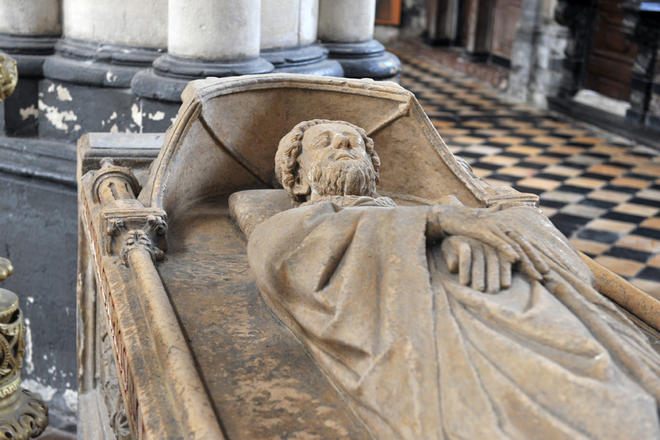
In the seventh century, on the donated Sithieu estate, Omer founded a chapel on top of the hill and an abbey next to the marshland. He entrusted them to three disciples who came to help him one of whom was Bertin. Omer was buried in the chapel whereas Bertin was laid to rest in the abbey. Both of them were canonised following their deaths. This area off the beaten track became a haven of peace and prayer close to the Carolingian dynasty. Around 820, the chapel became a collegiate church with 30 “chanoines” (priests) while the abbey had 60 monks. The route between the two sites is used for processions featuring the relics of the two saints. Today, it is the site of rue Saint-Bertin. The site attracted numerous pilgrims and the town grew in importance as a result. In 874, a market was granted by Charles the Bald.
Prodigious development
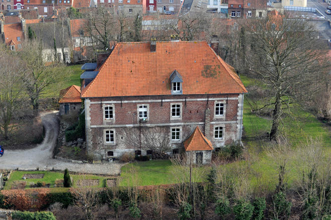
The Viking raids of the ninth century made it necessary to provide defence for the two churches. Once the danger had passed, the Counts of Flanders built their château on a hillock near the chapel. Starting from the year 1000, a town grew quickly, reaching a population of between 30,000 and 40,000 by 1300! This development was based on reorganising the town and trade notably woollen cloth. Saint-Omer was one of seven woollen cloth towns in Flanders. Merchants imported wool from England, had woollen cloth made in Saint-Omer before exporting the finished products. However, before this could happen the town had to create an opening onto the sea. A first canal, dug around 1100, reached as far as the “port au lait battu” (next to the “Maison du Marais”). Then around 1165, a new canal was dug through the marshes. It enabled large boats to reach the town. The port, known as “haut-pont”, was located at the bottom of rue de Dunkerque. A “water bypass” surrounded the town on three sides, facilitating trade. Saint-Omer was also a market for foodstuffs: grain, salt, fish and, above all, wine, imported from a large number of regions and redistributed in the surrounding area. The town grew continuously and was surrounded by a series of outer walls. The streets and squares were built to fit in with the town’s role as a trading centre.
Decline and renewal
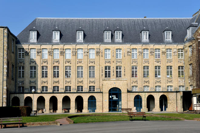
From the 14th century, the Franco-Flemish rivalry and the Hundred Year War with the English had a devastating effect on trade. And then the plagues arrived. Even though the situation improved in the 15th century, the town lost between a third and half of its population. The textile trade never returned to its high point of the 13th century. Saint-Omer became a strategic place between France and Flanders and home to many different religious communities. Between the 16th and 18th centuries, these roles grew in importance. It became a garrison town, adapting its fortifications. After the fall of Thérouanne in 1553, it became a diocese. Teaching developed, administered by religious orders including the Jesuits. A district with several colleges appeared between the cathedral and Saint-Bertin Abbey. Saint-Omer then became one of the main teaching towns in the area. English Jesuits opened a school for educating young Catholics from England, Ireland as well as Maryland, their American colony. In 1677, the town was taken by the armies of Louis XIV who gradually made it take on a French appearance. After building barracks and the bishop’s palace, he introduced examples of a new style, classical architecture. It was copied by the townsfolk for their houses throughout the 18th and 19th centuries.
A tertiary and cultural city
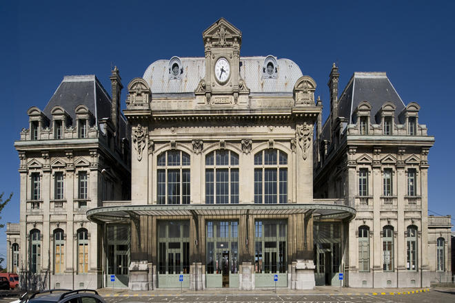
The Revolution changed the face of the town with many religious institutions disappearing. The Industrial Revolution bypassed Saint-Omer itself with factories sprouting up in the Aa Valley, outside the town. The exploitation of the marshes proved to be the major development in the 19th century, with the advent of the railways making it possible to transport vegetables. The town was a sub-prefecture and a key political centre with many elected representatives holding regional or national office. A number of buildings and facilities began to appear in the town: an art school, concert hall, theatre, museums, library and learned societies… While a judicial system being to put in place with the opening of the Pas-de-Calais Court of Assizes, the town returned to being a centre of teaching. The ramparts were taken down in the period between 1892 and 1895 leading to a series of major construction projects: buildings along the boulevards, a park and the “quai du commerce” as well as a large new station. When the First World War broke out the English set up their general headquarters in Saint-Omer. The fledging British Royal Air Corps set up a base at the aerodrome. In 1940, the town, finding itself in the “zone interdite” (forbidden zone”), was occupied by the Germans. An office of Todt’s organisation was installed there to supervise the building of weapon- launching sites (V1 and V2 missiles). The town suffered relatively little damage during the Allied bombing. After the post-war reconstruction, Saint-Omer continued its expansion within an intermunicipal framework during the sixties.

16 Rue Saint-Sépulcre 62500 Saint-Omer


Du mardi au vendredi : de 08h00 à 12h00 et de 13h30 à 17h00


